
Reasons Why Building a Solar Site across the Ash Levels is Wrong
December 20, 2023Dover District Council’s own character assessment document tells us why the proposal for a 205 acre industrial solar site is a very bad idea.
Read a summary below of this evidence-based report:
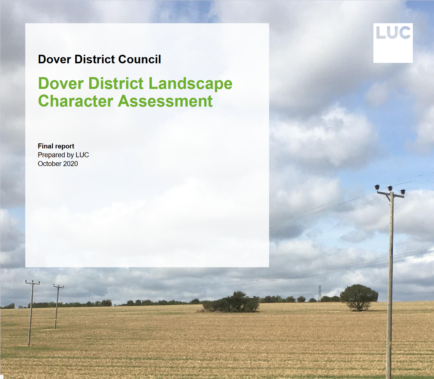
What Is The Dover Landscape Character Assessment 2020?
It is a document commissioned by Dover District Council to provide robust evidence to underpin the review of the Local Plan and to assist in the local planning process. It aims to:
- guide development that is sympathetic to local character and the qualities of the landscape (p5)
- protect valued landscapes and recognise the intrinsic value and beauty of the countryside (p7)
What it says about the character of the Ash Levels…
‘This is a distinctive large scale, flat and low-lying area of arable and pasture grazing. The landscape is reclaimed grazing marsh and retains marshland qualities including drainage ditches and an open expansive character’.
‘Away from the urban influences on the edge of Sandwich this is a largely tranquil, peaceful, and remote landscape’
Landscape Evaluation of Ash Levels – Key Sensitivities and Values
- Flat, low-lying and open reclaimed marshland with a strong sense of place and openness.
- Historic importance as part of the former Wanstum Channel separating mainland Kent from the Isle of Thanet.
- Ecologically important linear drainage ditches and former marshland designated as Ash Level and South Richborough Pasture Local Wildlife Site
- Absence of settlement and development across the marshes contributing to sense of isolation and remoteness.
- Recreational value associated with the Public Right of Way’s which provide access across the marshes.
- Expansive, uninterrupted, long-distance views across the marshes, including north south routes along former drove roads connecting the valley floor to adjacent higher land.
- A tranquil and rural area with an open and exposed remote character and large skies.
- Role as landscape setting in relation to Richborough.
Landscape Strategy for Ash Levels
The strategy for the Ash Levels is to restore and enhance the wetland habitat potential and connectivity as part of the wider Stour / Wanstum Marshes, which extend into Thanet and Canterbury districts.
Guidance Landscape Management
- Conserve and enhance the biodiversity of wetland habitats and watercourses of the former marshland.
- Manage and enhance the wildlife interest of agricultural fields by encouraging the creation of uncultivated field margins, management of drainage ditches and other wildlife-friendly farming methods.
- Restore and recreate former grazing marsh, fen and reedbed habitat as part of the wider wetland network in the Lower Stour catchment.
Development Management
- Conserve the open landscape and avoid the introduction of large-scale or incongruous elements or any form of development in this unsettled landscape.
- Consider the impact of change/development on the adjacent agricultural slopes on this very open landscape. And consider the role of this area as the landscape setting for Richborough .
- The open character of most marshland landscapes accentuates the visual impact of many proposals over a wide distance as compared with more enclosed landscape types. Avoid proposals that can result in the interruption of views of large open skies or horizons or impinge on the remote undeveloped quality of the marshland.
- Protect the valued recreational use of the landscape, seeking opportunities to further enhance access and enjoyment of the landscape including the Right of Way network.
What it says about the character of Richborough
The Richborough Bluff is located in the north of the district, to the north-west of Sandwich rising above the Ash Levels.. A former island in the Wantsum Channel, the area is an important historic Roman and Saxon site, strategically located on high ground at a main entry point to Britain.
Landscape Strategy
- Manage and enhance the wildlife interest of agricultural fields by encouraging the creation of uncultivated field margins, management of drainage ditches and other wildlife-friendly farming methods.
- Enhance areas of improved grassland to bring it to priority habitat quality.
- Enhance and augment fragmented field boundary hedgerows with native species. Development Management
- Conserve and respect the character and setting of Richborough Castle.
- Conserve the open landscape and wide views, avoiding the introduction of further large scale or incongruous elements that would be visually detrimental within the flat expanse of the surrounding landscape.
- Improve boundary treatments to further screen the A256 Sandwich Bypass and industrial estates to the east.
- Retain the rural winding character of the local lanes, resisting proposals for highway upgrades.
- Carefully manage tourist/recreation pressures on Richborough Castle. Retain a natural and informal character to existing and new tourist features, including a muted colour scheme for car parks, footpaths, and interpretation.
The full report can be found here >
